30k without power as Alfred bears down
March 6, 2025
Authorities have again updated Tropical Cyclone Alfred’s expected landfall time as millions of Australians brace for its terrible impact.
Authorities have updated Tropical Cyclone Alfred’s expected landfall time as millions of Australians brace for its terrible impact.
According to the Bureau of Meteorology’s (BOM) latest tracking map, the category 2 system will continue to “move slowly towards the southeast Queensland coast”, and is predicted to cross land late Saturday morning or early afternoon.
But Jonathan How from the Bureau of Meteorology said, “people shouldn’t get hung up on the time because we will see intense impacts well before that crossing.”
Mr How said by Saturday morning, the cyclone will “really start to slow down and even stall at times”.
“We are reminding people not to get too focused on the actual category at crossing,” he said on ABC.
“It may cross as a category 1 or 2. That only relates to the wind speed and doesn’t talk about the intense rainfall that we’re expecting no matter what the category is.”
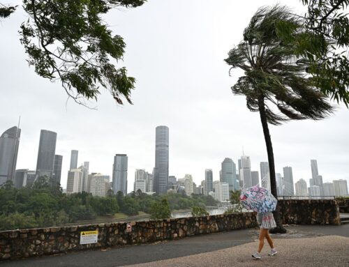
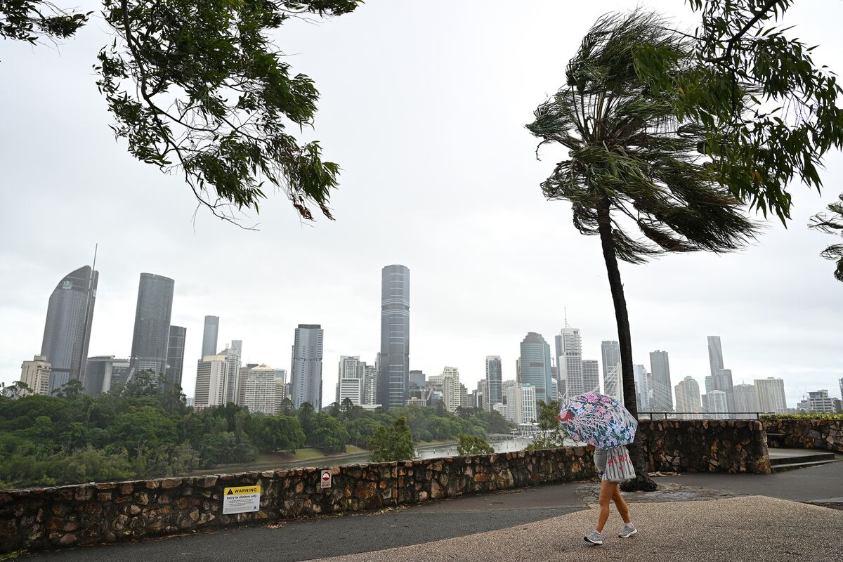
Some 70,000 homes are already without power across the Gold Coast and, in NSW, the Tweed and Byron shires.
Wind gusts of up to 155km/h can be expected as Alfred’s “destructive core” approaches the coast.
Heavy to locally intense rainfall may lead to dangerous and life-threatening flash flooding.
A danger zone is in place from Double Island Point in Queensland, north of Noosa, to north of Grafton in New South Wales, including Brisbane, Gold Coast, Sunshine Coast, Byron Bay and Ballina.
Read on for further updates.
Search
RECENT PRESS RELEASES
Related Post

