From conflict to coexistence: Protecting birds from wind energy
May 6, 2026
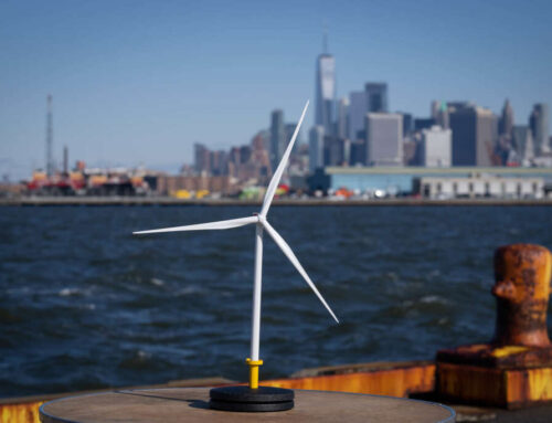
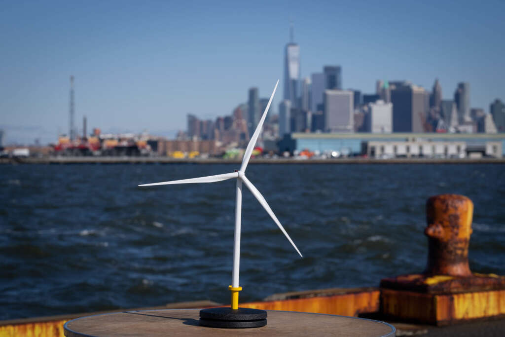
It’s a delicate balance. Renewables need to be deployed fast to prevent ecological collapse, but they should also avoid wildlife-sensitive areas. The best and cheapest way to ensure that wind turbines don’t harm birds is to place them in the right location, away from vulnerable species and major migration routes, where impacts will be minor or easier to mitigate.
Sensitivity maps, a tool that helps identify areas to be avoided, are gaining popularity across the industry and governments. And BirdLife is leading the way in developing these spatial tools. Historically, AVISTEP – the Avian Sensitivity Tool for Energy Planning- was the first of its kind and focused mainly on Africa and Asia. Working across global and regional teams, our European Partners have developed national sensitivity maps by adapting the AVISTEP methodology to local data.
Countries across the EU are in a race to designate dedicated Renewable Acceleration Areas (RAAs)[1] for renewable energy development on land and at sea. Sensitivity maps are a key science-based tool to help Member States achieve strategic spatial planning and minimise impacts on biodiversity.
Real-life impact of sensitivity maps in Spain & Portugal
Our Spanish Partner, SEO/BirdLife, has been leading the way since windfarms first appeared in Tarifa, in the Strait of Gibraltar, in the 1990s. In the past, SEO hasn’t been afraid to take a fight and has used legal action against projects that were planned or built in areas of high ecological value, that would ultimately have threatened sensitive species. By developing bird sensitivity maps for onshore and offshore wind and solar photovoltaic, they ensure that the first step of the mitigation hierarchy is followed: avoiding damage before it happens. This game-changer helps keep harmful developments out of areas that are important to biodiversity.

Just across the border, our Portuguese Partner SPEA has shown how powerful data can be. Their offshore sensitivity maps focused on 34 species affected by collision and displacement. SPEA’s map had a significant influence and changed an already finalised deployment plan. The data showed high sensitivity in some of the proposed areas that were pre-identified by the government through the Marine Rapid Readiness Assessment. One originally proposed area, Ericeira, was removed, and another area (Viana do Castelo) was downsized. Ideally, sensitivity maps should guide the declaration of RAAs, but SPEA’s case shows that maps can also be useful when RAAs have been pre-identified and can still drive change and prevent negative impacts.

How maps influence government decisions in Italy & Poland
Thanks to funding from the European Climate Foundation (ECF), our Partners in Italy (LIPU) and in Poland (OTOP) have also produced avian maps for onshore and offshore wind. In Italy, the maps follow a traffic light colour system, with the most sensitive areas indicated in red and the least sensitive in green.

The Polish maps use different tones and grading of the same colour. This was decided after consulting with decision makers. To make these maps as effective and usable as possible, it is important to keep a constant dialogue with authorities and the business sector.

In both countries, protected areas are marked in grey on the maps. These zones are strictly off-limits, signalling that these areas of high ecological value are not open for construction.
The maps are already successful with local municipalities and regions, moving us toward a potential new standard. In Italy, the grey layer of protected areas is already recognised by administrations, especially in some of the windiest areas, such as Sardinia. In Poland, sensitivity maps have been recommended as a requirement in government guidelines to fulfil the technical specification for the renewable energy mapping potential. This was only possible due to extensive consultations, including the Polish Wind Energy Association and our Polish Partner.
Sensitivity maps become a new standard to protect biodiversity
BirdLife and our Partners are recognised authorities when it comes to sensitivity maps. While other organisations are developing maps, the BirdLife Partnership was among the first to push the trend forward in several countries. Our Partners in Bulgaria, UK, Czechia, Hungary, Ireland, Romania, Slovenia, Croatia, Finland and Malta have produced and continue to produce onshore and offshore wind maps. As countries in the region feel the urge to deploy renewable energy faster, there is a strong appetite to expand sensitivity maps to other countries like Greece, Iceland and Georgia.
While maps are usually designed in a way that they can be used with ease, misunderstandings can still occur. Our Partners created recommendations and indicators for governments and industry on how to best read and use sensitivity maps to avoid misinterpretations.[2]
But sensitivity maps are only one piece of a bigger puzzle. They are part of the first step of the mitigation hierarchy, which must be respected to minimise negative impacts: avoidance, mitigation, restoration and offsetting. Nature conservation and the deployment of renewables can only go hand in hand when science-based solutions lead the way to reduce impacts on biodiversity. We also need innovative technology that increases energy saving and efficiency of renewables.
The right steps and processes need to be followed as the pace of the renewables rollout accelerates. Biodiversity and ecosystems need to be taken seriously by strengthening strategic investments in nature restoration and fostering political will. Governments must step in and understand what sound spatial planning and the management of protected areas look like. They need to enable developers to do ‘good’ projects. Ultimately, protecting nature is a win-win for wildlife, society and industry, helping us get through the challenging yet crucial decades ahead.
Sensitivity maps can be one part of this journey to protect the birds we love.
[1] RRAs are areas that are pre-identified by the government for fast-tracked renewable energy development, usually chosen for their high wind or solar potential and existing infrastructure but they do not include parameters of biodiversity. The failure to fully integrate comprehensive biodiversity parameters can lead to ecological risks.
[2] However, all use recommendations highlight that maps should not replace Environmental Impact Assessments (EIA), Strategic Environmental Assessments (SEA) or Appropriate Assessments (AA).
Search
RECENT PRESS RELEASES
Related Post


